Last week, we powered-down our computers, put away our drawings and spent the evening volunteering at the Oregon Food Bank with friends and family. As the smell of onions wafted through the air, we checked in, donned hairnets, gloves and aprons, and along with several other eager volunteers, we bagged thousands of pounds of red onions for Oregon Food Bank pantries around the region. It was a fun activity and easy for all ages to help. You might be surprised to learn that 1 in 5 people in Oregon and Southwest Washington are food insecure, and the Oregon Food Bank helps supply food to 270,000 people in an average month. Needless to say, help is always welcome. We will return to the Oregon Food Bank to volunteer again, as we have in years past. No matter how busy life is, we must always find time to lend a hand.
Vote to Protect Our Natural Areas
Among the many important decisions voters have to consider in November is Metro’s 26-178 Protect Our Natural Areas ballot measure. Livability of our region has always been an inspiration and driving factor in our work at Mayer/Reed as well as in our personal pursuits with our families. Support of this measure will take steps toward ensuring clean water, restoring wildlife habitat and connecting people with nature. This measure demonstrates what we hold dear as Oregonians.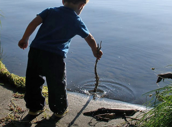 Please join us, and many others, in support of renewing Protect Our Natural Areas. For more information, see: www.protectournaturalareas.com.
ASLA Oregon Honors Mayer/Reed with Outstanding Firm Award
ASLA Oregon has announced its 2016 Honor Awards winners and we are thrilled to be recognized with the Outstanding Firm Award for major contributions to the profession. The awards, which celebrate the spirit of the landscape architecture profession in Oregon, honor people and organizations for their service, design excellence, community leadership and stewardship. We look forward to celebrating with our friends and colleagues during Oregon ASLA’s Annual Soiree on Friday, November 4, 2016.
An International Study Tour of The Rain Garden
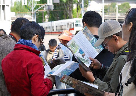
A dozen years after completion, the Rain Garden at the Oregon Convention Center continues to draw national and international interest for its pioneering approach to stormwater management. As the lead designer, I recently led a tour of the site for a group of landscape architects from Beijing, China where designing visible, green infrastructure is in its infancy.
The independent practitioners and academics from the School of Architecture and Design of Beijing Jiaotong University were studying successful examples of integrated stormwater landscapes in Portland, Seattle, San Francisco and Los Angeles.
They were particularly impressed with the long term success and lessons learned from The Rain Garden, a series of vegetated basins that collects and treats stormwater from over 5.5 acres of roof area from the OCC expansion. It was essentially a large scale experiment at the time of its design and installation.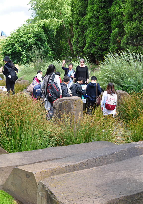
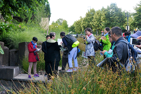 As we gathered among the chiseled basalt boulders in the spillways, the group took copious notes and photos and challenged me with questions: “How did you determine the size and depth of the basins? Where does the water drain to? What type of stone was used and where did it come from? Would you do it the same way if you were designing it now?”
I found myself drawn into their excitement for a project that I have come to take for granted among many prolific, sustainable stormwater projects in the Pacific Northwest. Nowadays, as rain gardens have become a character-defining feature of Portland, it’s heartening to recall that this bold, demonstration project did, in fact, help inspire a movement that is now acknowledged and emulated worldwide.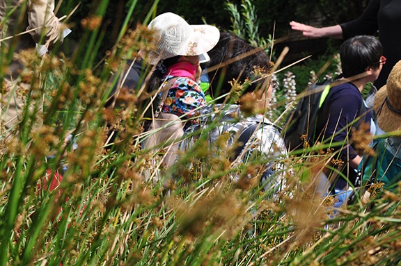 The tour was organized by Hong Wu, Assistant Professor, Department of Landscape Architecture at Pennsylvania State University and Xiaojie Tian, Principal of LA Road Study Exchange Program and sponsored by the Landscape Architecture Frontiers Magazine of China.
